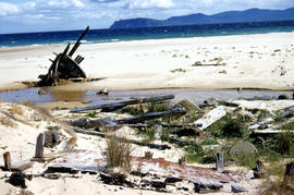
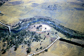
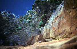
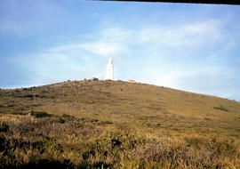
Wreck on beach near Mars Bluff
Add to clipboard
Colour photograph of rotting timbers from wreck of boat, half-buried in the sand near shallow creek on beach near Mars Bluff, Bruny Island, Photograph possibly taken 1963.
White caps on Lake Myrtle
Add to clipboard
Colour photograph shows waves and white caps on the surface of Lake Myrtle GIS: Latitude -4188 Longitude 14618 Gazetteer Australia Record_ID TAS02073
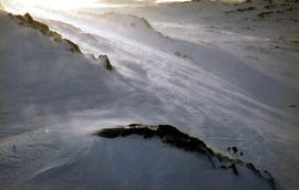
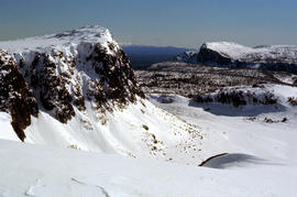
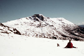
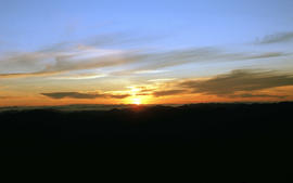
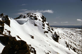
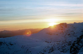
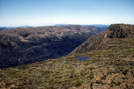
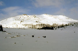
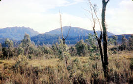
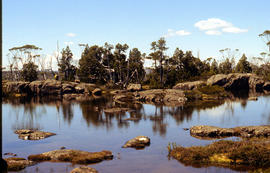
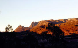
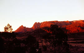
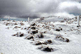
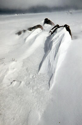
West Wall 1978
Add to clipboard
Colour photograph shows snow cover surround Lake Thor and Western Bluff
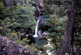
Waterfall on track to Meander Valley Falls
Add to clipboard
Colour photograph shows water spilling into a pool beside track to Meander Falls, with overhanging trees and vegetation surrounding stream
Arthur Knight
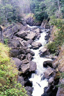
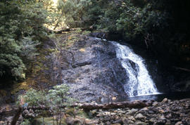
Waterfall at Pine Tree Creek
Add to clipboard
Colour photograph shows waterfall flowing across rock face in Central Highlands, with pencil pines surrounding rock pool
Arthur Knight
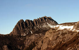
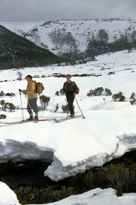
Walkers near Barn Bluff
Add to clipboard
Colour photograph of two walkers trying to avoid slippery pathway with flecks of snow on ground and Barn Bluff in background
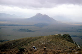
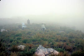
Walkers in fog
Add to clipboard
Colour photograph shows three walkers on heathland climbing in fog
Walkers carrying roofing iron to K Col
Add to clipboard
Colour photograph shows bushwalkers carrying roofing iron along a path to the ridgeline of K Col near Mount Field West as part of project to build a hut to shelter bushwalkers and skiers. Hobart Walking Club's F.A. Peterson Memorial Hut was opened in 1960
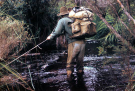
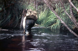
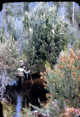
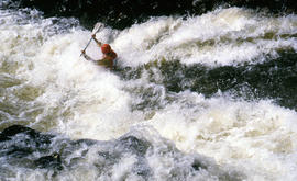
Walker crossing Sandfly Creek
Add to clipboard
Colour photograph shows a bushwalker fighting to stay upright in the current while fording Sandfly Creek
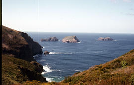
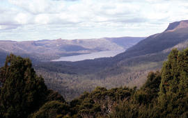
View of the Lawrence Valley
Add to clipboard
Colour photograph shows man standing on a ridge on Mount Lord, looking across the Lawrence valley, where the Lawrence Rivulet flows. Man is standing amid tall specimens of Pandani, Richea pandanifolia.
View of Russell Falls
Add to clipboard
Colour photograph shows Russell Falls as viewed from elevated vantage point in rainforest
View of Chauncy Vale
Add to clipboard
Colour photograph shows treeline and valley at Chauncy Vale
Arthur Knight
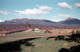
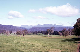
View of Ben Lomond
Add to clipboard
Colour photograph shows open farmland in the foothills of Ben Lomond
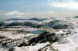
View across Lake Lea
Add to clipboard
Colour photograph shows Lake Lea in foreground, with Cradle Mountain and Barn Bluff in distance
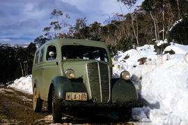
Vehicle on road at National Park
Add to clipboard
Colour photograph shows two-tone green vehicle with driver's fingers visible on steering wheel, on the unsealed road at National Park, with snow covering the higher ground. Tasmanian number plate reads WLA 189 - 19 TAS 56.
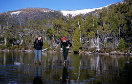
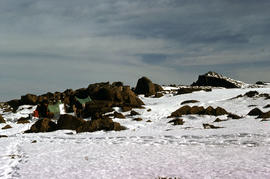
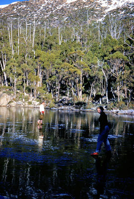
Two bushwalkers at Eagle Tarn
Add to clipboard
Colour photograph shows man and woman standing on frozen surface of Eagle Tarn, with snow-topped mountain ridge in distance
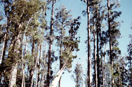
Treetops near Butlers Hill
Add to clipboard
Colour photograph depicts northern shoreline of Great Lake and settlement of Breona
Arthur Knight
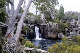
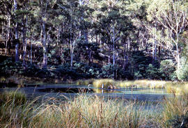
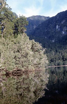
Trees reflected in Artists Pool
Add to clipboard
Colour photograph of Artists Pool, a waterhole near Cradle Mountain, with reflections of alpine plants on the water's surface
Trees on slope of Mount Mawson
Add to clipboard
Colour photograph shows mature forest, amid some patches of dead tree cover, on steep slope at base of Mount Mawson
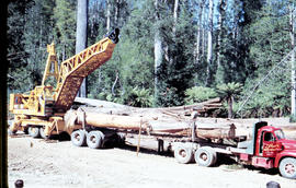
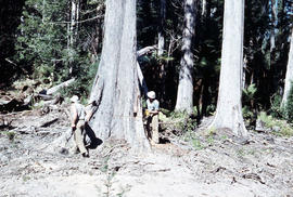
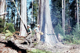
Tree felling in Florentine Valley
Add to clipboard
Colour photograph shows three bushmen, one operating a chainsaw, cutting into the butt of a mature eucalyptus tree, working in the Florentine Valley
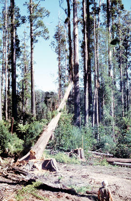
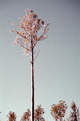
Tree cut down in Florentine Valley
Add to clipboard
Colour photographs shows timber worker in hard hat standing clear of a falling tree in a clearing of the Florentine Valley
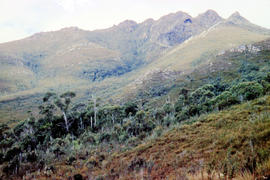
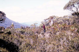
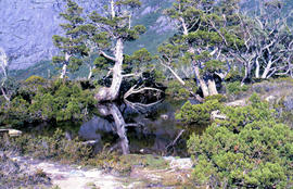
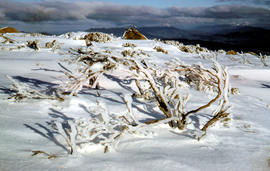
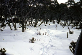
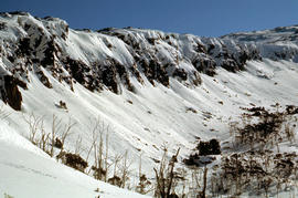
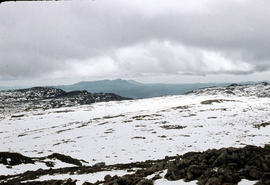
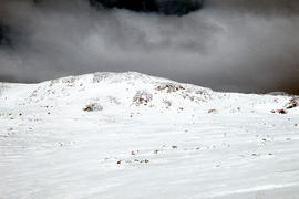
Trappers hut in snow
Add to clipboard
Colour photograph shows alpine vegetation and snowcover below Mount Ophel
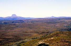
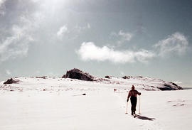
The Wailing Wall 1978
Add to clipboard
Colour photograph shows skier standing outside trapper's hut in the snow
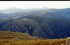
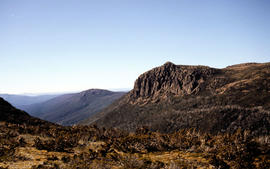
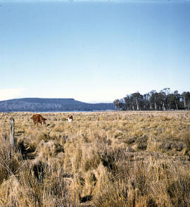
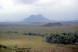
Table Mountain from Interlaken
Add to clipboard
Colour photograph shows cattle grazing in paddock near Interlaken, with flat-topped mountain in the distance
Arthur Knight
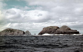
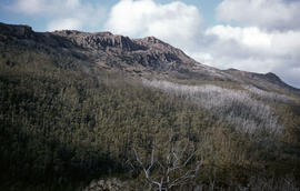
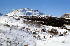
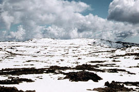
Stacks Bluff from Mangana
Add to clipboard
Colour photograph shows snow cover on Stacks Bluff, photographed from nearby forest Low contrast in image
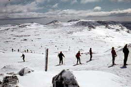
Snow skiing below Legges Tor
Add to clipboard
Colour photograph shows Legges Tor, the highest peak of Ben Lomond, with skiers visible on the nearby ski field
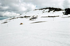
Snow skiing at National Park
Add to clipboard
Colour photograph shows two snow skiiers navigating patchy snow at National Park, a location in Mount Field National Park