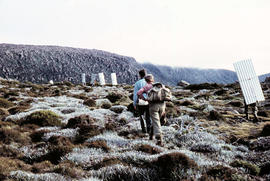
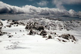
Walkers carrying roofing iron to K Col
Add to clipboard
Colour photograph shows bushwalkers carrying roofing iron along a path to the ridgeline of K Col near Mount Field West as part of project to build a hut to shelter bushwalkers and skiers. Hobart Walking Club's F.A. Peterson Memorial Hut was opened in 1960
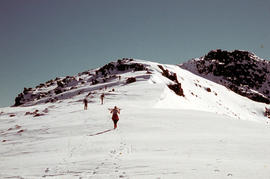
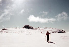
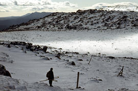
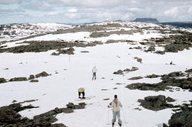
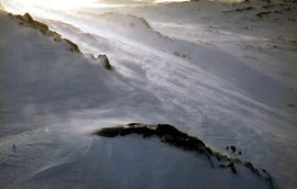
Climbing Naturalist Peak in snow
Add to clipboard
Colour photograph shows five figures in the snow, walking or skiing to the top of Naturalist Peak near Mount Field West, in Mount Field National Park. Some marks on original physical scanned image
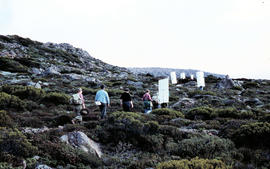
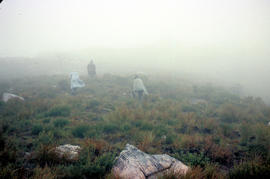
Walkers in fog
Add to clipboard
Colour photograph shows three walkers on heathland climbing in fog
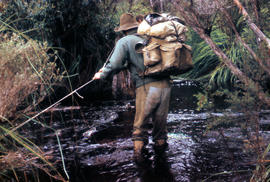
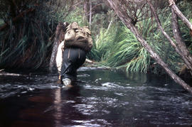
Walker crossing Sandfly Creek
Add to clipboard
Colour photograph shows a bushwalker fighting to stay upright in the current while fording Sandfly Creek
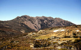
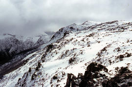
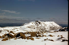
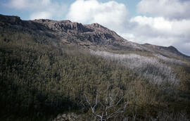
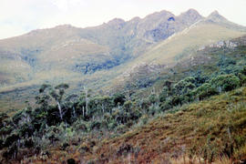
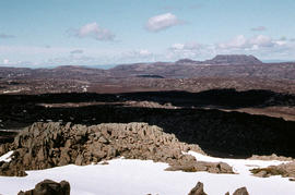
Ridge of Florentine Peak
Add to clipboard
Colour photograph shows ridge line of Florentine Peak, with small patches of snow in foreground
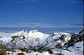
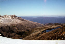
Snow on Florentine Peak
Add to clipboard
Colour photograph shows partial snow cover on Florentine Peak, looking west across mountains in distance
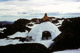
Igloo at Mount Field West
Add to clipboard
Colour photograph shows two bearded men posing on the top or in doorway of an igloo built at Mount Field West, 1975
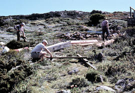
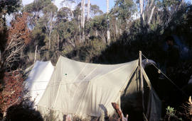
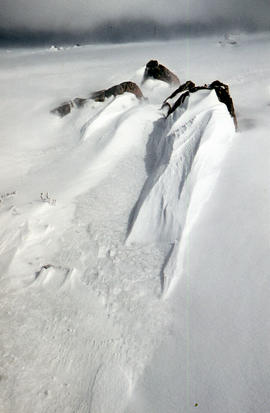
Assembling hut at K Col
Add to clipboard
Colour photograph shows people assembling the roof frame of a Hobart Walking Club hut at K Col, later named the FA. Peterson Memorial Hut and officially opened in 1960 by New Zealand adventurer Sir Edmund Hilary
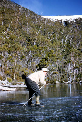
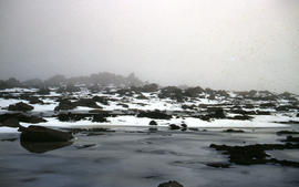
Skating on Lake Dobson
Add to clipboard
Colour photograph shows people ice skating on frozen surface of Lake Dobson
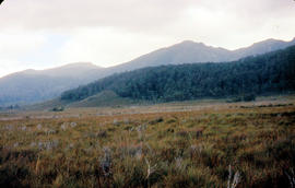
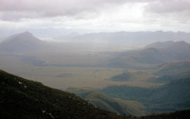
Lake Edgar in the distance
Add to clipboard
Colour photograph shows low cloud obscuring the forest and ridgelines where Lake Edgar is visible in the distance
Ice skating on Lake Dobson
Add to clipboard
Colour photograph shows two people standing upright on the frozen surface of Lake Dobson, 1954
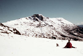
View of the Lawrence Valley
Add to clipboard
Colour photograph shows man standing on a ridge on Mount Lord, looking across the Lawrence valley, where the Lawrence Rivulet flows. Man is standing amid tall specimens of Pandani, Richea pandanifolia.
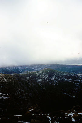
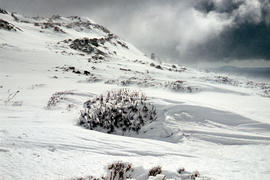
Low cloud over Mount Bridges
Add to clipboard
Colour portrait format photograph shows low cloud over Mount Bridges, with patches of snow on the ground
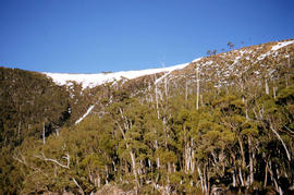
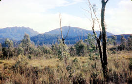
Mount Eliza covered in low cloud
Add to clipboard
Colour photograph shows lightly timbered heath and woodland and Mount Eliza in the background covered in low cloud
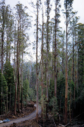
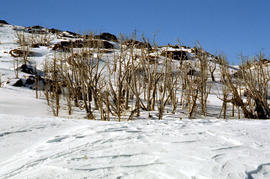
Trees on slope of Mount Mawson
Add to clipboard
Colour photograph shows mature forest, amid some patches of dead tree cover, on steep slope at base of Mount Mawson
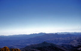
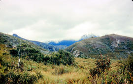
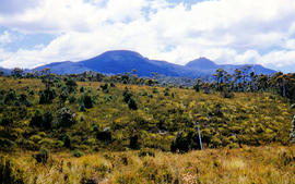
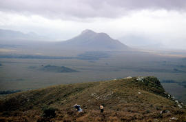
Mt Solitary and Lake Pedder
Add to clipboard
Colour photograph taken from elevated mountain ridge, shows valley floor looking west to Mount Solitary and original shoreline of Lake Pedder
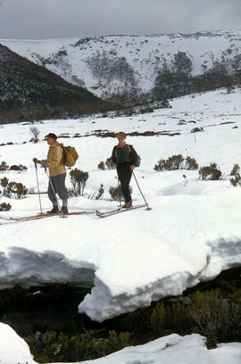
Snow skiing at National Park
Add to clipboard
Colour photograph shows two snow skiiers navigating patchy snow at National Park, a location in Mount Field National Park
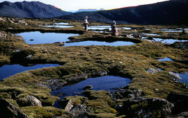
Resting at Newdegate Pass
Add to clipboard
Colour photograph shows three people resting at Newdegate Pass in Mount Field National Park
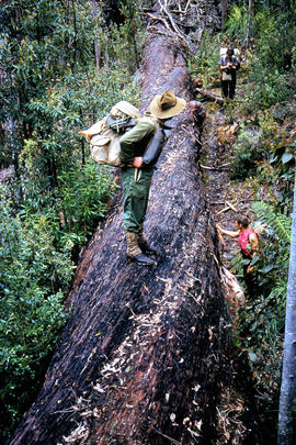
Bushwalking near Gordon River
Add to clipboard
Colour photograph shows bushwalker with backpack in heath and woodland walking towards the Gordon River
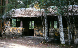
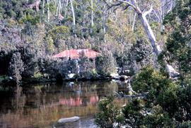
Hut at Twilight Tarn
Add to clipboard
Colour photograph shows the rusting red roofing iron on hut visible above trees on the edge of Twilight Tarn
Bushwalker near Mount Lord
Add to clipboard
Colour photograph shows man in red and black check bush shirt standing in bush on Mount Lord, looking west. Man is standing amid tall specimens of Pandani, Richea pandanifolia
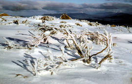
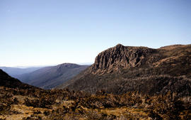
Bare Mountain
Add to clipboard
Colour photograph of Bare Mountain, with evidence of past bushfire damage to trees on lower slope GIS: Latitude -4149 Longitude 14590 Gazetteer Australia Record_ID TAS23466
Pointing out a dead bird
Add to clipboard
Colour photograph shows a person pointing at a dead bird on the ground near Bare Mountain, with new undergrowth shooting after a recent bushfire and several bushwalkers visible in the distance
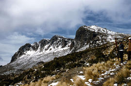
Walkers near Barn Bluff
Add to clipboard
Colour photograph of two walkers trying to avoid slippery pathway with flecks of snow on ground and Barn Bluff in background
Man with skis on Mount Barrow
Add to clipboard
Colour photograph shows heavy snow cover on Mount Barrow with man carrying skis next to guideposts alongside road
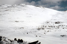
Ben Lomond plateau
Add to clipboard
Colour photograph shows Ben Lomond plateau with partial snow cover and blackened ground
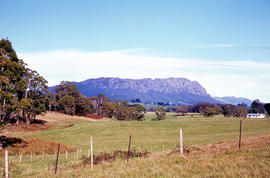
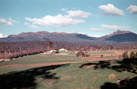
View of Ben Lomond
Add to clipboard
Colour photograph shows open farmland in the foothills of Ben Lomond
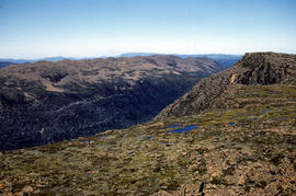
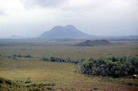
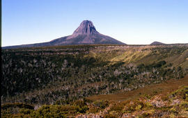
Chalice Lake and Mount Rogoona
Add to clipboard
Colour photograph of Chalice Lake and Mount Rogoona GIS: Latitude -4188 Longitude 14619 Gazetteer Record_ID TAS02032
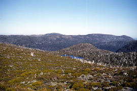
Looking south to Cradle Mountain
Add to clipboard
Colour photograph shows the heathland on the Central Plateau, south of Cradle Mountain, with the mountain peaks visible in the distance
Cradle Mountain and Dove Lake
Add to clipboard
Colour photograph shows flecks of snow on upper ridges of Cradle Mountain and land around Dove Lake, some of it cloaked in deep shadow
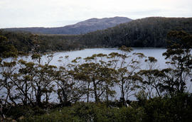
View across Lake Lea
Add to clipboard
Colour photograph shows Lake Lea in foreground, with Cradle Mountain and Barn Bluff in distance
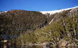
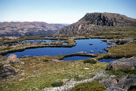
Crater Lake
Add to clipboard
Colour photograph shows Crater Lake
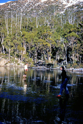
Close up of Crater Lake
Add to clipboard
Colour photograph shows shoreline of Crater Lake with sunlit cliffs on opposite bank
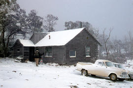
Alpine hut covered in snowdrift
Add to clipboard
Colour photograph shows footprints in snow leading to an alpine hut in a clearing, partially covered by snowdrift
Skiing shelter
Add to clipboard
Colour photograph shows two sets of skis and backpacks outside an alpine hut, covered in a snowdrift