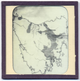
Lantern slide of maps of Tasmania. Prepared by J.W. Beattie (1859-1930) whose studio locations were Elizabeth Street, Hobart from 1891-1920, Murray Street from 1921-40 and Cat and Fiddle until 1994.
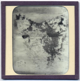
Lantern slide of maps of Tasmania. Prepared by J.W. Beattie (1859-1930) whose studio locations were Elizabeth Street, Hobart from 1891-1920, Murray Street from 1921-40 and Cat and Fiddle until 1994.
Collection consists of diaries, letters, maps, photographs and slides compiled during a tour of duty as a medical officer at RNZAF Station Torokina, Bougainville from June- November 1945.
Maps produced and published by the Australian Survey Corps dated 1944-1945 1.Solomon Islands North Navigation Chart 2.Bougainville Island North 3.Bougainville Island South 4.Bougainville Island Cape Moltke 5.Bougainville Island Aita 6.Bougainville Island Inus 7.Bougainville Island Torokina