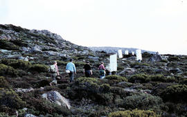
Walkers carrying roofing iron to K Col
Add to clipboard
Colour photograph shows bushwalkers carrying roofing iron along a path to the ridgeline of K Col near Mount Field West as part of project to build a hut to shelter bushwalkers and skiers. Hobart Walking Club's F.A. Peterson Memorial Hut was opened in 1960
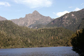
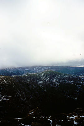
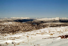
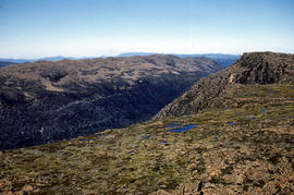
Lake Edgar in the distance
Add to clipboard
Colour photograph shows low cloud obscuring the forest and ridgelines where Lake Edgar is visible in the distance
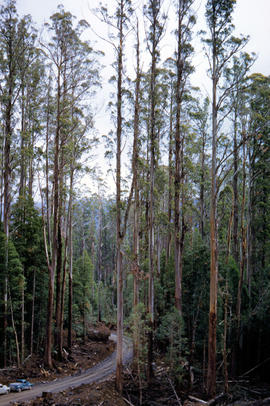
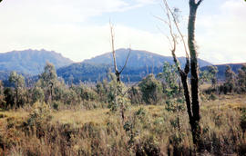
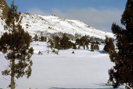
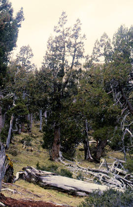
Trees on slope of Mount Mawson
Add to clipboard
Colour photograph shows mature forest, amid some patches of dead tree cover, on steep slope at base of Mount Mawson
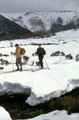
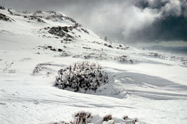
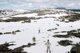
Snow skiing at National Park
Add to clipboard
Colour photograph shows two snow skiiers navigating patchy snow at National Park, a location in Mount Field National Park
Bushwalking near Gordon River
Add to clipboard
Colour photograph shows bushwalker with backpack in heath and woodland walking towards the Gordon River
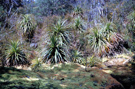
Bushwalker near Mount Lord
Add to clipboard
Colour photograph shows man in red and black check bush shirt standing in bush on Mount Lord, looking west. Man is standing amid tall specimens of Pandani, Richea pandanifolia
Pointing out a dead bird
Add to clipboard
Colour photograph shows a person pointing at a dead bird on the ground near Bare Mountain, with new undergrowth shooting after a recent bushfire and several bushwalkers visible in the distance
Walkers near Barn Bluff
Add to clipboard
Colour photograph of two walkers trying to avoid slippery pathway with flecks of snow on ground and Barn Bluff in background
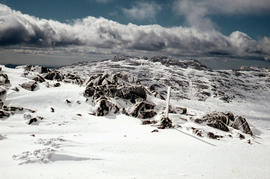
Ben Lomond plateau
Add to clipboard
Colour photograph shows Ben Lomond plateau with partial snow cover and blackened ground
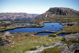
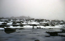
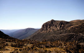
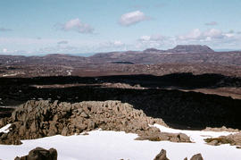
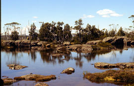
Crater Lake
Add to clipboard
Colour photograph shows Crater Lake
Shoreline of Lake Chalice 1979
Add to clipboard
Colour photograph shows the rocky shoreline of Chalice Lake GIS: Latitude -4188 Longitude 14615 Gazetteer Australia Record_ID TAS02044
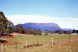
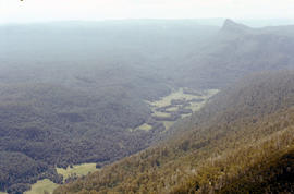
Lees Paddock and Mount Pillinger
Add to clipboard
Colour photograph shows the cleared land of Lees Paddocks in the upper Mersey Valley, surrounded by bush with Mount Pillinger in the background
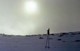
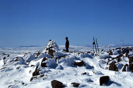
Morning mist on Ben Lomond 1962
Add to clipboard
Colour photograph shows pair of gloves on a set of ski poles pitched into snow atop Ben Lomond, with mist covering the sun
Lake Timk and Mount Anne
Add to clipboard
Colour photograph shows Lake Timk and Mount Anne in distance GIS: Latitude -4293 Longitude 14646 Gazetteer Australia Record_ID TAS16882
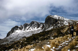
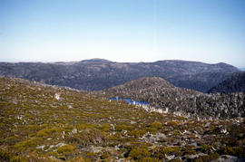
Mount Rogoona
Add to clipboard
Colour photograph shows Mount Rogoona with Lake Myrtle obscured by light alpine forest vegetation on ridge
Skiers at Ben Lomond
Add to clipboard
Colour photograph shows ski runs near summit of Ben Lomond 1960
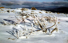
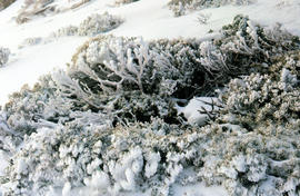
Snow near Mount Ophel
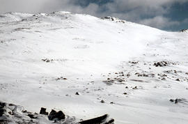
Add to clipboard
Colour photograph shows snow cover above thick alpine forest at the Wailing Wall near Mount Jerusalem
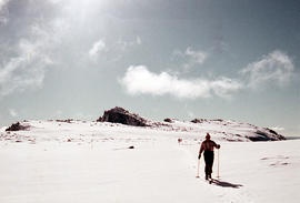
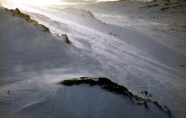
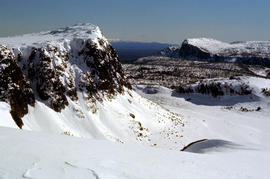
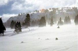
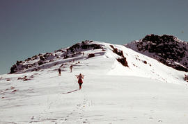
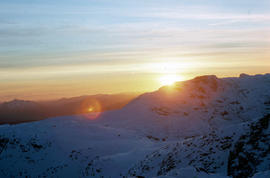
Climbing Naturalist Peak in snow
Add to clipboard
Colour photograph shows five figures in the snow, walking or skiing to the top of Naturalist Peak near Mount Field West, in Mount Field National Park. Some marks on original physical scanned image
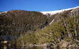
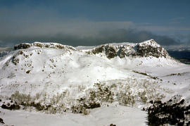
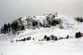
Low cloud over Mount Bridges
Add to clipboard
Colour portrait format photograph shows low cloud over Mount Bridges, with patches of snow on the ground
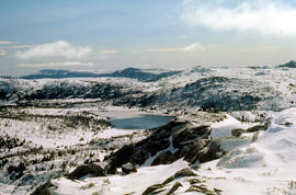
View across Lake Lea
Add to clipboard
Colour photograph shows Lake Lea in foreground, with Cradle Mountain and Barn Bluff in distance
Cradle Mountain and Dove Lake
Add to clipboard
Colour photograph shows flecks of snow on upper ridges of Cradle Mountain and land around Dove Lake, some of it cloaked in deep shadow
Close up of Crater Lake
Add to clipboard
Colour photograph shows shoreline of Crater Lake with sunlit cliffs on opposite bank
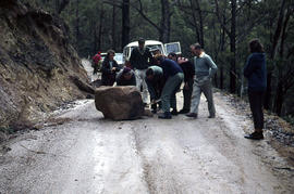
Flooded Midland Highway 1964
Add to clipboard
Colour photograph shows Volkswagen combi van being driven through floodwaters across Midland Highway 1964
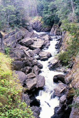
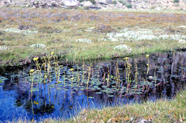
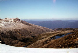
White caps on Lake Myrtle
Add to clipboard
Colour photograph shows waves and white caps on the surface of Lake Myrtle GIS: Latitude -4188 Longitude 14618 Gazetteer Australia Record_ID TAS02073
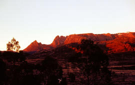
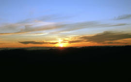
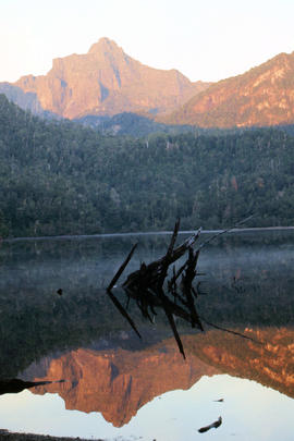
Mount Anne at sunrise
Add to clipboard
Colour photograph shows silhouette of Mount Anne, viewed at sunset
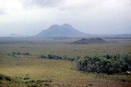
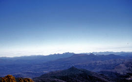
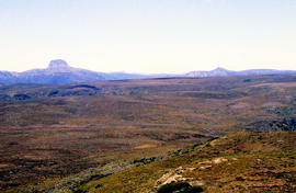
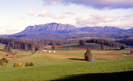
Farmland near Mount Roland
Add to clipboard
Colour photograph shows cloud above mountain ranges, looking west to Mount Heemskirk from Mount Murchison
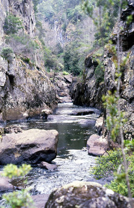
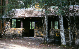
Pencil Pine Creek Falls
Add to clipboard
Colour photograph shows Pencil Pines growing in alpine forest near Dixons Kingdom hut