Images of Tasmania as collected by Colin Dennison : University of Tasmania Library Special & Rare Collections
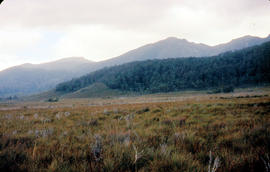
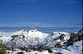
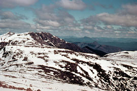
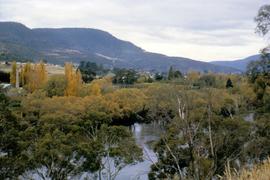
Upper Derwent Valley
Imagen Opciones avanzadas de búsqueda
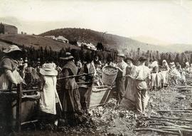
Black-and-white photograph shows men, women and children stripping hop cones into hessian-covered troughs, carrying baskets and sacks of harvested hops on the extensive hop grounds. The plant was cultivated widely at Glenorchy, Margate, Kingston and the Upper Derwent Valley area.
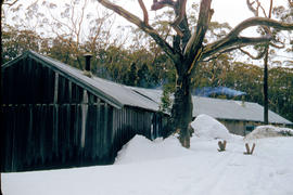
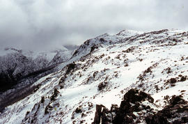
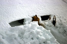
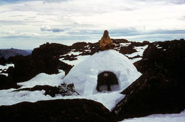
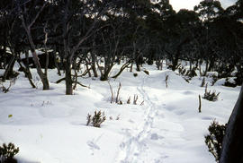
Colour photograph shows smoke curling out of the flue from a woodheater or fireplace of the Hobart Walking Club timber hut at Mount Field National Park, with snowdrifts banked halfway up the walls of the hut
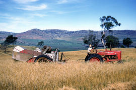
Colour photograph shows a farmer driving an International Harvester Farmall M tractor, with the Australian model name AM, pulling a trailed harvester in a paddock of rye at Glen Dhu, 1956. Placename distinct from other Glen Dhu, near Launceston.
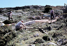
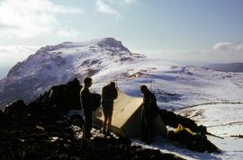
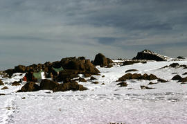
Colour photograph shows people assembling the roof frame of a Hobart Walking Club hut at K Col, later named the FA. Peterson Memorial Hut and officially opened in 1960 by New Zealand adventurer Sir Edmund Hilary
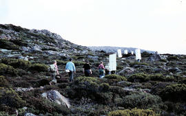
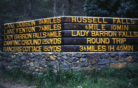
Colour photograph shows signs posted at entrance of Mount Field National Park, with distances and estimated travel times to Lake Dobson (9 1/4 miles), Lake Fenton (7 1/4 miles), Lady Barron Falls (1 1/2 mile), Camping Ground (250 yds), Rangers Cottage (150 Yds), Russell Falls 1/2 MILE 10 MIN, Lady Barron Falls Round Trip 3 1/2 MILES 1H 45 MIN
Colour photograph shows unusual sign for South Gordon walking track turnoff, fashioned out of number plates, with three backpacks resting on ground nearby
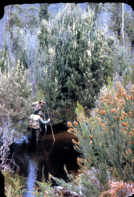
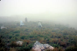
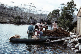
Colour photographs shows three people in a small boat laden with firewood being moved from one side of Lake Dobson to another. Hut visible on shore and cleared path of zig-zag track up hill visible in background
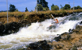
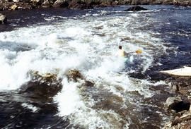
Colour photograph shows paddler on whitewater course on Woodwards Canal, a man-made water course carved between Bradys Lake and Bronte Lagoon by the Hydro Electric Commission during construction of a hydro-electric power scheme
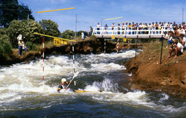
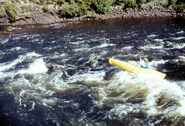
Colour photograph shows Australian K1 champion Jonathan Males, a Tasmanian paddler competing at Bradys Lake slalom course, watched by several spectators on a bridge above and alongside the course. The course on Woodwards Canal, a man-made water course carved between Bradys Lake and Bronte Lagoon by the Hydro Electric Commission during construction of a hydro-electric power scheme
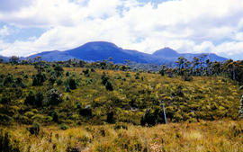
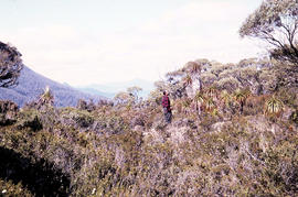
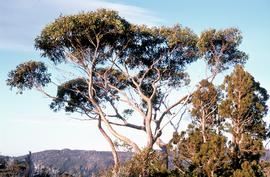
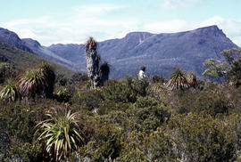
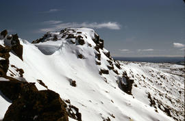
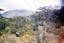
Colour photograph shows man standing on a ridge on Mount Lord, looking across the Lawrence valley, where the Lawrence Rivulet flows. Man is standing amid tall specimens of Pandani, Richea pandanifolia.
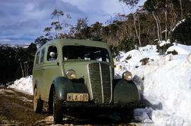
Colour photograph shows two-tone green vehicle with driver's fingers visible on steering wheel, on the unsealed road at National Park, with snow covering the higher ground. Tasmanian number plate reads WLA 189 - 19 TAS 56.
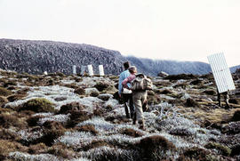
Colour photograph shows bushwalkers carrying roofing iron along a path to the ridgeline of K Col near Mount Field West as part of project to build a hut to shelter bushwalkers and skiers. Hobart Walking Club's F.A. Peterson Memorial Hut was opened in 1960
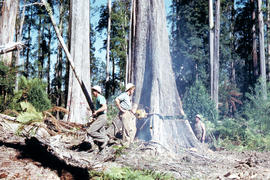
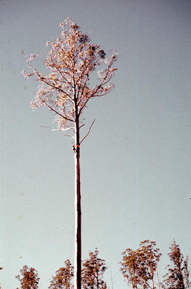
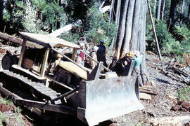
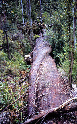
Colour photograph shows Caterpillar Diesel D7 series bulldozer and timber workers at the base of a tree being felled by chainsaw in the Florentine Valley
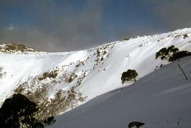
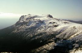
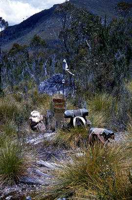
Colour photograph shows partially dry lakebed of Eagle Tarn, in Mount Field National Park, with hut visible on the opposite shoreline. Sign nailed to tree reads: EAGLE TARN 3390FT
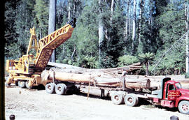
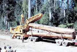
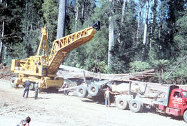
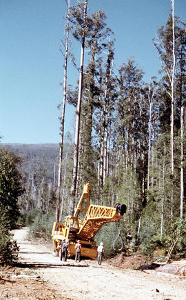
Colour photograph shows a crane being used to load up a semi-trailer to carry logs from the Florentine Valley. inscription on driver's door reads, L.J. Reynolds, HAULAGE CONTRACTOR, Maydena, Phone 217
Colour photograph shows a timber work cast in shadow as a log is lifted by a crane being used to load up a semi-trailer to carry logs from the Florentine Valley. Inscription on driver's door reads L.J. Reynolds, HAULAGE CONTRACTOR, Maydena, Phone 217
Colour photograph shows a crane being used to load logs on a semi-trailer in the Florentine Valley. Inscription on driver's door reads L.J. Reynolds, HAULAGE CONTRACTOR, Maydena, Phone 217. Visible at lower left of image are people in street or travelling clothes on an outing to view timber workers in the bush
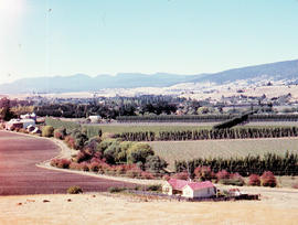
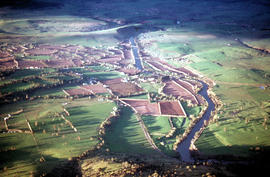
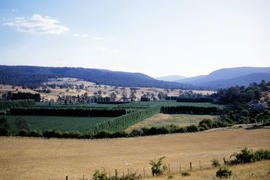
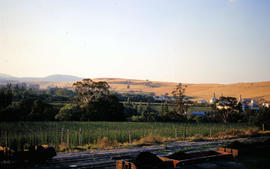
An aerial colour photograph shows distinctive shelter belts around cultivated hop fields alongside River Derwent at Bushy Park, Glenora and Macquarie Plains. Long shadows being cast from the low sun to the west
Colour photograph shows timber workers in hard hats standing around an unladen Skagit loader with an operator visible in the cabin, on a dirt track in the bush