Images of Tasmania as collected by Colin Dennison : University of Tasmania Library Special & Rare Collections
Arthur Knight Slides
Image Advanced search options
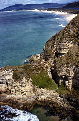
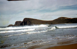
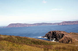
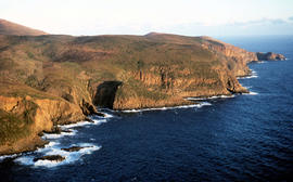
Colour photograph of waves breaking in Lighthouse Bay, with cliffs and headland of Cape Bruny and Bruny Island Lighthouse in background. Discolouration in scanned image from original slide.
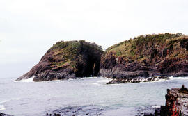
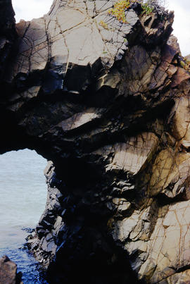
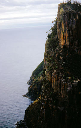
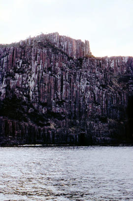
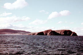
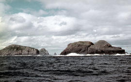
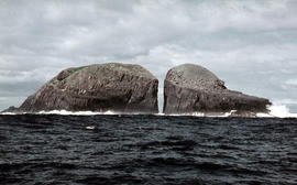
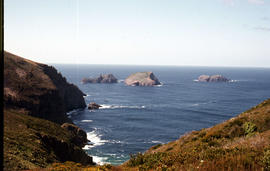
Colour photograph taken at sea level of the gap between vertical cliffs of two islands in the Friars island group, off the southern coast of Bruny Island
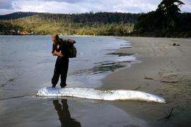
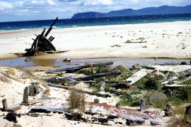
Colour photograph of rotting timbers from wreck of boat, half-buried in the sand near shallow creek on beach near Mars Bluff, Bruny Island, Photograph possibly taken 1963.
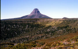
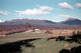
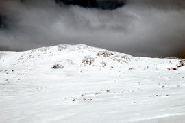
Colour photograph of Bare Mountain, with evidence of past bushfire damage to trees on lower slope GIS: Latitude -4149 Longitude 14590 Gazetteer Australia Record_ID TAS23466
Colour photograph shows a person pointing at a dead bird on the ground near Bare Mountain, with new undergrowth shooting after a recent bushfire and several bushwalkers visible in the distance
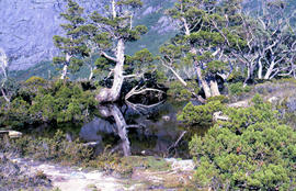
Colour photograph shows reflections of alpine vegetation in Chalice Lake 1979 GIS: Lake Latitude -4188 Longitude 14615 Gazetteer Australia Record_ID TAS02044